Enhance your image files and reduce their size without quality loss.
Free and open source Geographic Information System (GIS) software.
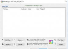
Free program to analyze and modify your image files.
Tool for doing high quality image file conversions.
It is a program designed for 2D and 3D analysis and visualization routines.